Log in
All resources
Create a design
1,579 Free Artworks of Maps Of Africa
description de l'universe
maps from the earth and its inhabitants, vol. xi
copper engraving print
africa in the 1890s
1667 maps
atlas maior, vol 10 (spain and africa) - joan blaeu, 1667 - bl 114.h(star).10
british library
joan blaeu
alain manesson mallet
bibliothèque nationale de france
travel
maps
maps of the west-indische compagnie
1747 maps of africa
description de l'universe
old maps of africa
description de l'universe
old maps of africa
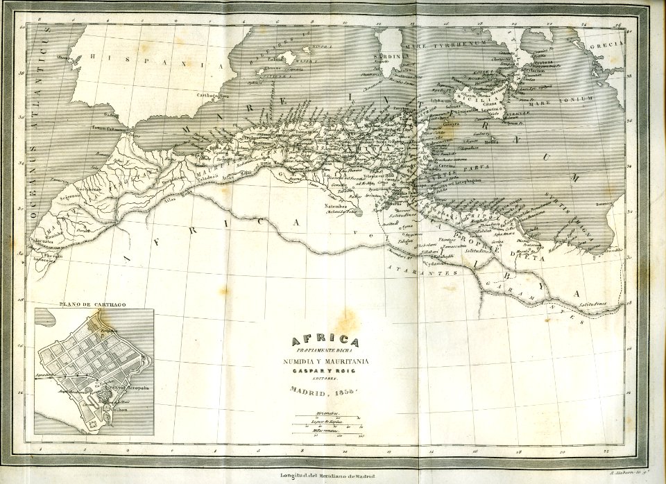
africa
maps
description de l'universe
1680s maps of africa
description de l'universe
old maps of africa
africa
maps
atlas maior, vol 10 (spain and africa) - joan blaeu, 1667 - bl 114.h(star).10
1667 maps
atlas maior, vol 10 (spain and africa) - joan blaeu, 1667 - bl 114.h(star).10
1667 maps
maps from the earth and its inhabitants, vol. xi
africa in the 1890s
maps from the earth and its inhabitants, vol. xi
africa in the 1890s
maps from the earth and its inhabitants, vol. xi
africa in the 1890s
a voyage to abyssinia, and travels into the interior of that country, executed under the orders of the british government in the years 1809 & 1810
john outhett
frans post
baroque
maps from the earth and its inhabitants, vol. xiii
exploration of africa
17th-century people of africa
africa in the 1680s
old maps of south africa
maps of transvaal
17th-century people of africa
africa in the 1680s
17th-century people of africa
africa in the 1680s
maps from the earth and its inhabitants, vol. xi
africa in the 1890s
media contributed by university of illinois urbana-champaign university library
carte de barbarie, nigritie, guinée par guillaume delisle (1707)
context files from gallica
1667 sanson map of africa
maps from the earth and its inhabitants, vol. xii
1710s maps of africa
maps from the earth and its inhabitants, vol. xiii
maps of orange free state
africa
maps
maps from the earth and its inhabitants, vol. xiii
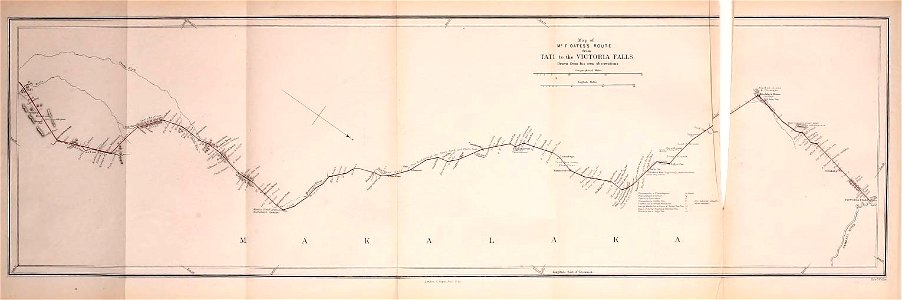
maps of telegraph lines
maps from the earth and its inhabitants, vol. xi
1870s maps of tunisia
arnold van langren map of southwest africa
bibliothèque nationale de france
eran laor cartographic collection
william henry toms
a voyage to abyssinia, and travels into the interior of that country, executed under the orders of the british government in the years 1809 & 1810
john outhett
a voyage to abyssinia, and travels into the interior of that country, executed under the orders of the british government in the years 1809 & 1810
john outhett
ismailïa. a narrative of the expedition to central africa for the suppression of the slave trade (1874)
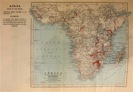
diagrams, plots and charts from the british library mechanical curator collection
africa
maps
17th-century people of africa
africa in the 1680s
maps from the earth and its inhabitants, vol. xi
africa in the 1890s
17th-century people of africa
africa in the 1680s
map of ancient assyria by philippe de la rué
maps
maps in musée de la compagnie des indes
images requiring restoration
atlas maior, vol 10 (spain and africa) - joan blaeu, 1667 - bl 114.h(star).10
1667 maps
maps from the earth and its inhabitants, vol. xi
africa in the 1890s
illustrations from five weeks in a balloon by riou and montaut
old maps of africa
maps from the earth and its inhabitants, vol. xi
africa in the 1890s
maps from the earth and its inhabitants, vol. xi
africa in the 1890s
maps from the earth and its inhabitants, vol. xi
africa in the 1890s
atlas maior, vol 10 (spain and africa) - joan blaeu, 1667 - bl 114.h(star).10
1667 maps
atlas maior, vol 10 (spain and africa) - joan blaeu, 1667 - bl 114.h(star).10
1667 maps
picturesque journey to the two americas, asia and africa
lima in the 1840s
a.de la motraye's travels through europe, asia, and into part of africa (1723) by la mottraye
realism
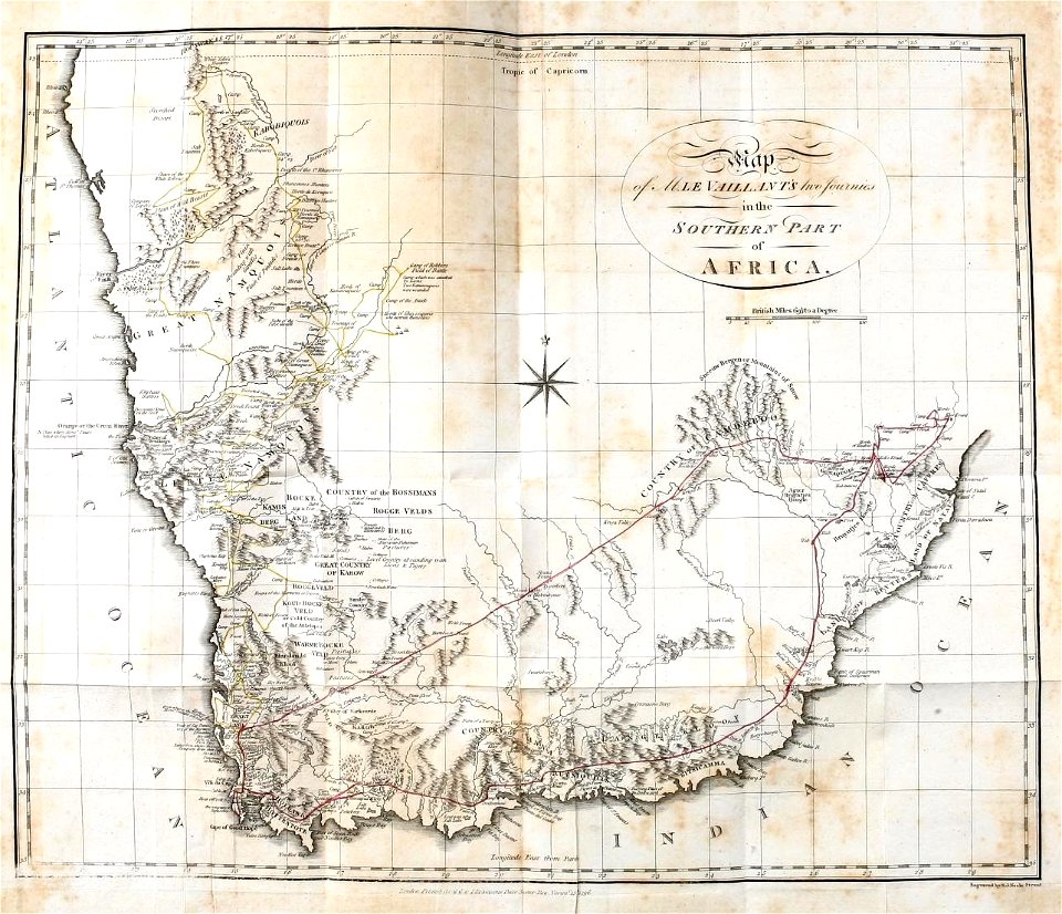
old maps of south africa
emil holub
1880s maps of south africa
emil holub
a voyage to abyssinia, and travels into the interior of that country, executed under the orders of the british government in the years 1809 & 1810
john outhett
atlas van der hagen (volume 4)
atlas van der hagen
catalan atlas, 1959 reproduction
catalan atlas, 1959 reproduction
dr. wilh. junker's reisen in afrika 1875-1886
1880s maps of sudan
eran laor cartographic collection
william henry toms
18th-century maps of north africa
maps by tomas lopez
english-language maps
maps by john cary
synopsis universae philologiae
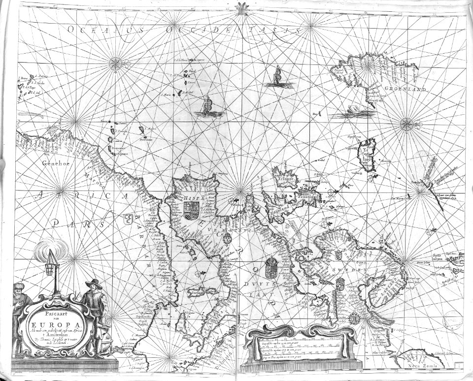
1741 maps of europe
maps of the dutch east india company - south africa
1747 maps
old maps of south africa
maps of the great trek
picturesque journey to the two americas, asia and africa
1842 in bolivia
picturesque journey to the two americas, asia and africa
potosí
arnold van langren map of southwest africa
renaissance
picturesque journey to the two americas, asia and africa
1842 in bolivia
picturesque journey to the two americas, asia and africa
1842 in bolivia
maps from the earth and its inhabitants, vol. xi
maps indicating exploration
maps of the western cape
breede river
1800s maps of the iberian peninsula
maps by john cary
maps from the earth and its inhabitants, vol. xi
africa in the 1890s
maps from the earth and its inhabitants, vol. xi
africa in the 1890s
bird
maps
maps of peñón de vélez by braun & hogenberg
maps of tunis by braun & hogenberg
atlas maior, vol 10 (spain and africa) - joan blaeu, 1667 - bl 114.h(star).10
1667 maps
atlas maior, vol 10 (spain and africa) - joan blaeu, 1667 - bl 114.h(star).10
1667 maps
maps in the rijksmuseum amsterdam
1690s maps of africa
atlas maior, vol 10 (spain and africa) - joan blaeu, 1667 - bl 114.h(star).10
1667 maps
atlas maior, vol 10 (spain and africa) - joan blaeu, 1667 - bl 114.h(star).10
1667 maps
1660s maps of spain
1667 maps
illustration
maps
atlas maior, vol 10 (spain and africa) - joan blaeu, 1667 - bl 114.h(star).10
1667 maps
maps from the earth and its inhabitants, vol. xi
africa in the 1890s
maps of barbary coast by mercator-hondius
bibliothèque nationale de france
description de l'universe
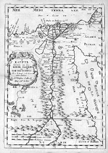
maps of nubia
description de l'universe
1683 maps of africa
description de l'universe
1683 maps of africa
description de l'universe
maps of the blue nile
1727 maps of africa
1720s maps of egypt
1727 maps of africa
1720s maps of egypt
maps of the ottoman empire by mercator-hondius
map
bird
maps
1770s maps of morocco
maps by tomas lopez
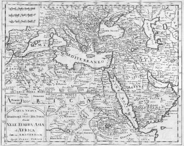
africa
maps
carte de l'afrique françoise par guillaume delisle (1726)
philippe buache
picturesque journey to the two americas, asia and africa
1842 in bolivia
illustrations from five weeks in a balloon by riou and montaut
old maps of africa
geographia universalis (1545) in the british museum
german renaissance,northern renaissance
description de l'universe
1683 maps of africa
description de l'universe
1680s maps of africa
1201 - 1300 of 1,579
Next page
/ 16